
FLP Construction & Agricultural Development Corporation
Construction, agricultural development, and aerial LiDAR survey services, based at the FLP Compound, Double Barrel, Brgy. Sarmiento, Parang, Maguindanao del Norte, BARMM.
Focus areas
Construction
Building projects across the Mindanao operations of the group.
Agricultural development
Developing agricultural land in Parang, Maguindanao del Norte.
Services
Topographic aerial LiDAR
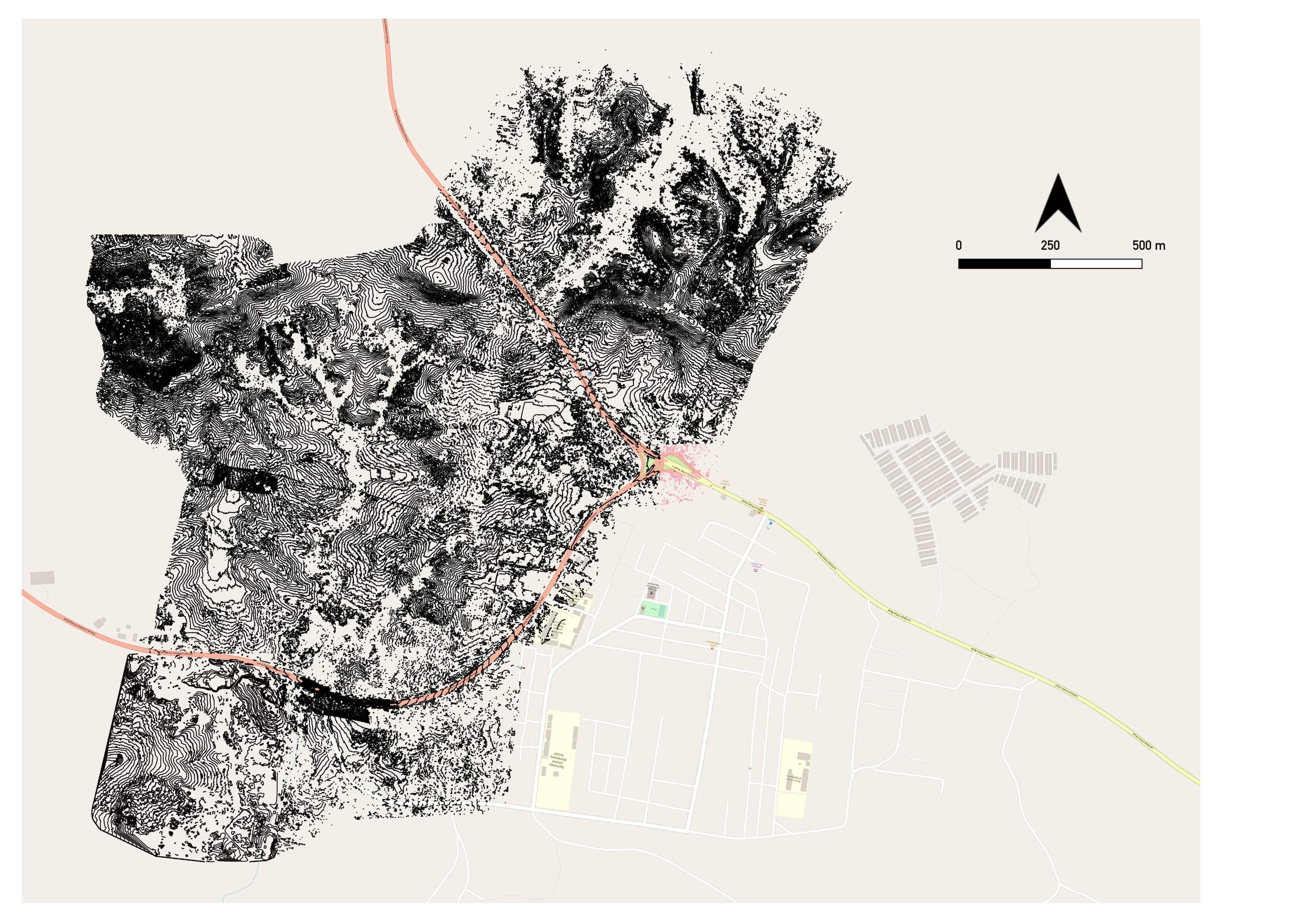
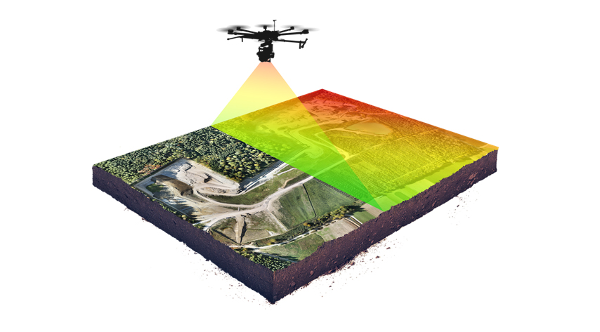
FLP Construction offers cutting-edge topographic aerial LiDAR services, revolutionizing traditional surveys with advanced technology. Our DJI L1 drone, mounted with topographic aerial LiDAR, captures precise elevation data, contours, and terrain features for a comprehensive view of your project site.
Unmatched accuracy
Precise, reliable results for informed decision-making.
Rapid data collection
Advanced drone systems cover large areas quickly.
Detailed 3D mapping
High-resolution 3D models capturing intricate site details.
Expert data processing
Raw LiDAR data transformed into actionable insights.
Versatility & adaptability
Serving urban planning, infrastructure development, forestry, coastal zone mapping, and more.
Applications of FLP Construction's Topographic Aerial LiDAR Services
- Mapping and Surveying: Accurate elevation data, contours, and terrain features for urban planning, infrastructure development, and land management.
- Floodplain Mapping: Identifying flood-prone areas, assessing risks, and developing flood mitigation strategies.
- Forestry and Vegetation Analysis: Monitoring tree height, canopy structure, biomass, and density for forest inventory and habitat assessment.
- Coastal Zone Mapping: Monitoring erosion, shoreline changes, and coastal habitats for effective coastal management.
- Infrastructure Planning: Precise elevation data for aligning and engineering transportation networks.
- Urban Planning and 3D City Modeling: Detailed 3D models for urban planning, simulations, and visualization.
- Natural Hazard Assessment: Identifying at-risk areas, analyzing slope stability, and mapping fault lines for hazard mitigation.
Talk to FLP about a project
Construction, agri development, or LiDAR survey inquiries — routed through our contact form.
Contact FLP → PS Group of Companies
University Heights, Brgy. Kaypian, City of San Jose del Monte, Bulacan, Philippines